


Střední Pyreneje (Central Pyrenees) 1:50t turistická mapa TQ
laminovaná mapa odolná proti vodě a roztržení
Popis:
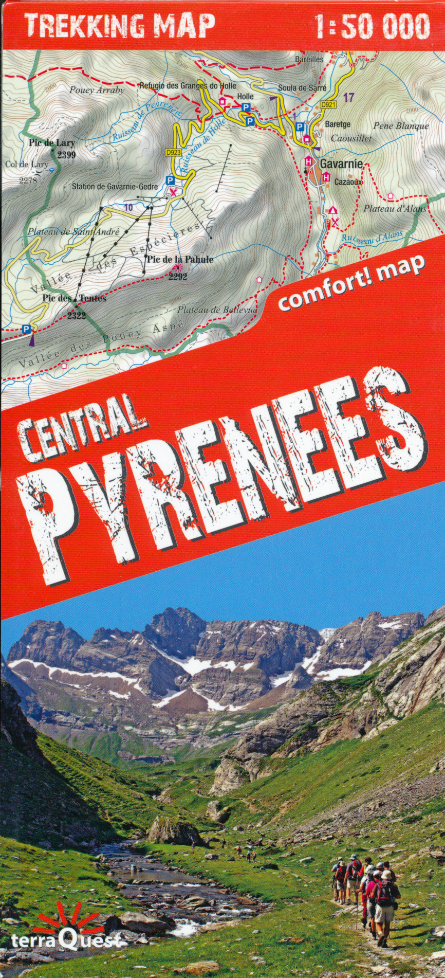
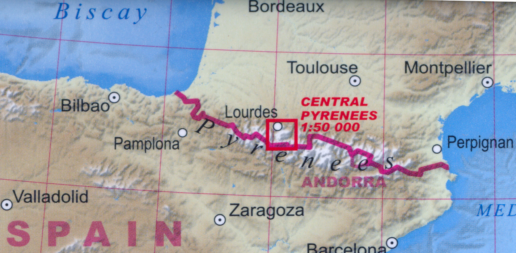
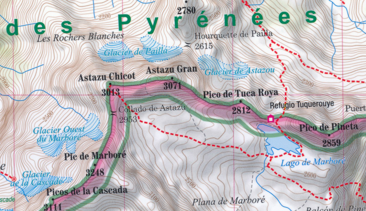
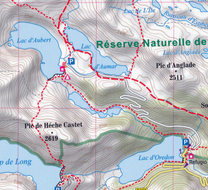
Coverage extends north to the towns Lourdes, Bagneres-de-Bigorre and Capvern, and along the Spanish border from the peak of Vignemale in the west to Pic de la Pez. Topography is presented by contours at 20m intervals enhanced by relief shading, plus spot heights for local peaks. Numerous hiking trails are highlighted and symbols indicate different accommodation options (campsites, refuges and shelters, hotels), restaurants and cafes, various places of interest, etc. The contoured mapping and highlighting for the trails continues on the Spanish side, indicating cross-border trails, although the map itself does not extend much beyond the border. Please note: the course of the GR10 is clearly marked but not the HRP (Haute Randonnée Pyrénéenne).. Local roads show locations of car parks and petrol stations. The map has latitude and longitude lines at intervals of 1’. Map legend includes English.
Potřebujete poradit?
Mohlo by Vás zajímat


 průvodce 2017 EWTG")

 2017 průvodce EWTG")


 plán města 1:15t ExpressMap")


