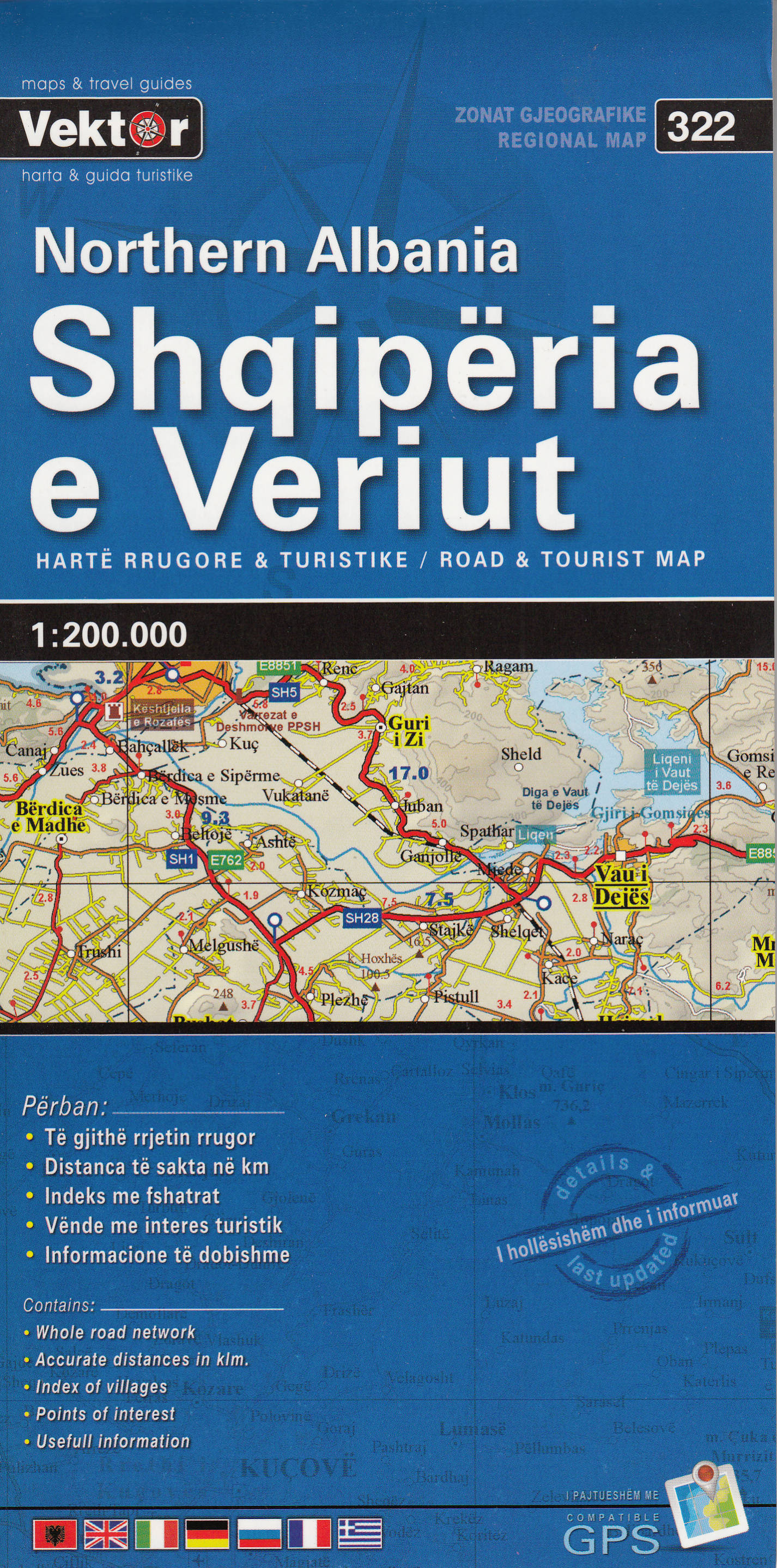


Road and travel map of northern Albania at 1:200,000, sheet size 98 x 68 cm / 38.5 x 26.5 in.
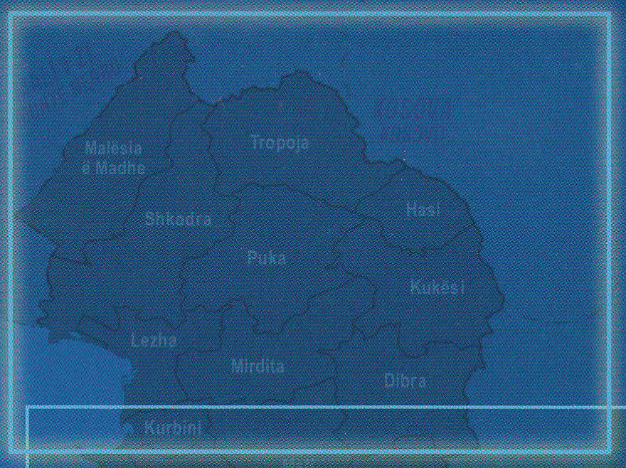
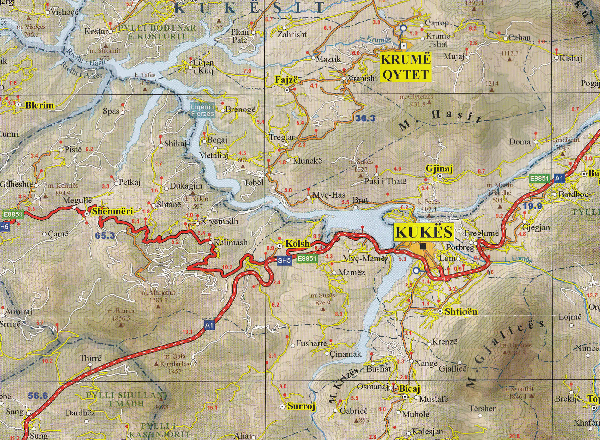
Topography is shown by contours (100 m interval) and by relief shading, with numerous spot heights and names of mountain ranges. National parks and other protected areas are marked. Road network indicates driving distances on most small local roads shown on the map and shows border crossings. Scenic routes are highlighted. Railway lines are included, also local airports and marinas / ports on the Adriatic. The map also shows the country's internal administrative boundaries with names of the regions.
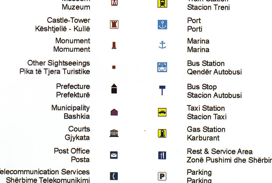
Picturesque towns and villages are highlighted. Map symbols indicate camp sites, ski areas, churches, monasteries, castles, archaelogical remains, etc. Latitude and longitude lines are drawn at 10' intervals. The place name index is placed next to the map cover. Multilingual map legend includes English. Authentic, road-tested Albanian cartography.
Albánie Sever (Albania North) mapa 1:200t VEKTOR
Popis:
Potřebujete poradit?
Mohlo by Vás zajímat
 Elbasan - Berat")

 průvodce 6th BRADT")
 Shkodra")
 Saranda")
 Tropoja – B. Curri – Valbona")

 automapa 1:350t VEKTOR")


